Conquest 4 is integrated with several Maps services, which allows users to visualise and manage location data with up-to-date mapping reference.
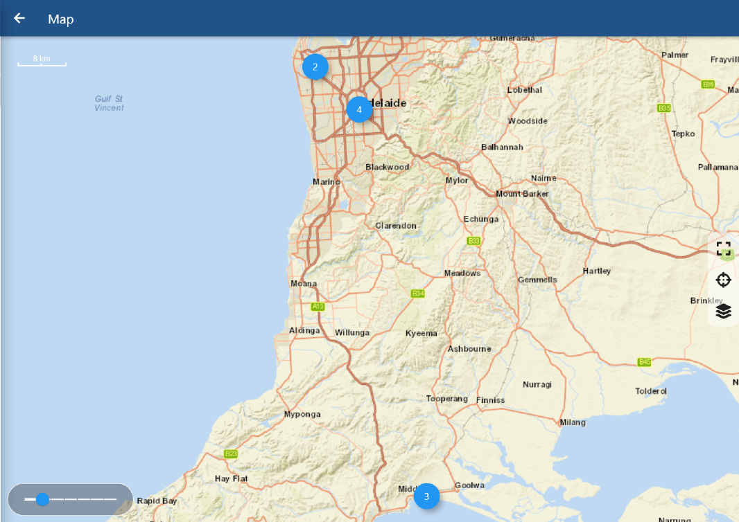
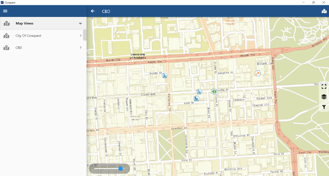
The Maps feature displays all the selected user-defined geodata within its current context. It is an extremelly helpful tool to visualise User Views and navigate to a desired object geographically.
A Tasks dock is available on the right-hand side to assist the user on the navigation which, depending on the context, may include:
•Fit view to display all items
•Current location
Note: If the current location is unavailable
on the app, contact your IT administrator to enable location on your operating
system settings
•Select Map Service Provider
•Centralise current item
•Filter layers applied on a Map View
When multiple data points are avaiable, they are automatically clustered enhanced visualisation. Zooming in and out is possible through sliding the dial on the bottom section or by clicking on one of the clusters.
Note:
When Defects and Actions do not have geographical data, their locations revert back to their related Assets.
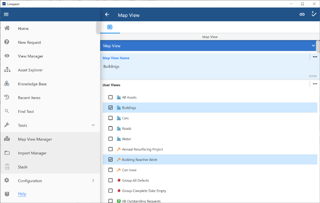
A Map View is a collection of user views with associated geographical data which can be used to display all related Conquest Data Objects. Such view can contain an assemble of different objects, giving easy access to their data forms, assisting the user to quickly update any object.
Map views can be created, edited and removed through the Map View Manager.
The Map View Manager allows users to modify and build Map Views by combining as many User Views as desired, regardless of their context, allowing users to create a view that contains assets, actions and defects displayed on a single map.
This feature can be accessed under the Tools menu: