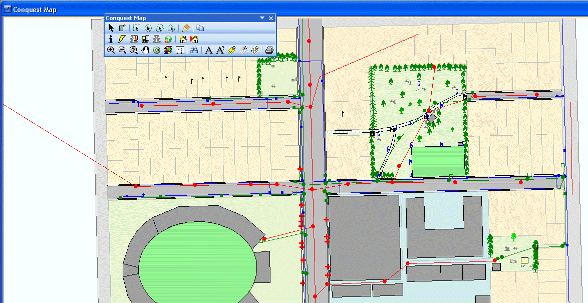
Conquest Map is an optional module that provides the basis for integrated mapping from within the main Conquest application. Conquest Map is implemented as a library module that is referenced by the main Conquest application file.
Conquest Map uses MapX technology to access Mapinfo data. MapX functions that are used by Conquest Map follow the Mapinfo style of user interface so that pop-up forms resulting from a toolbar button-click do not have a close button but are closed by clicking the button again. This takes a little getting used to but cannot be avoided, when using the MapX components.
Conquest Map provides three main functions to the Conquest User.
•Asset Selection
Provides the user with a graphical method to locate and select Assets using a map, as an alternative to the Asset Explorer or User Views.
•Data Entry
Allows the user to add map objects as Assets to the Asset Register using the map as the point of entry. Map objects may be added using Conquest Map or they may be batch loaded after being added within the main GIS tool.
•Spatial Representation of Assets
Provides the user with the ability to view Assets or the results of User Views in a Map.
Refer to Conquest Map Configuration for details on Set-up.